


Sky away from Sunset
The brightest subject is not always the most interesting

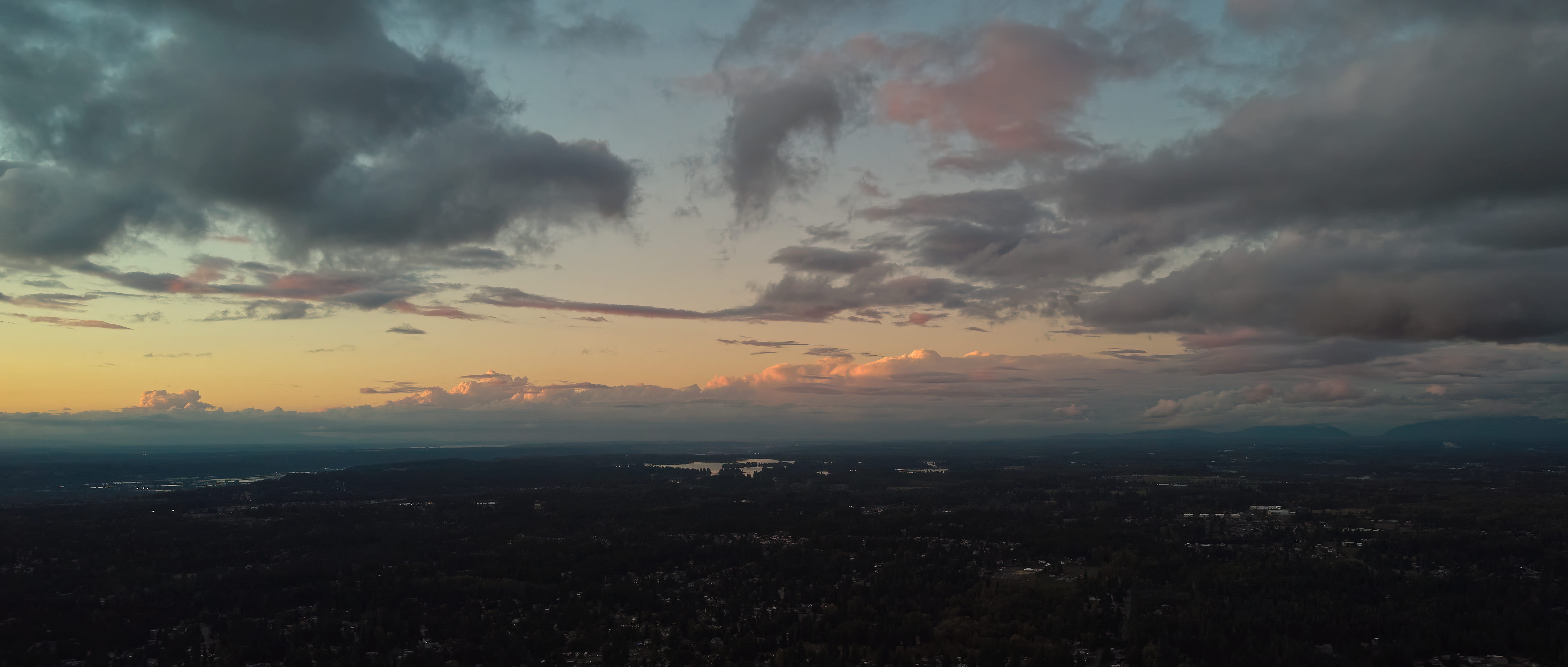
As I was sifting through tonight’s photos from the drone, I noticed one that had less impact than the bright-sun images, that one up there.
Technical info: The drone camera is not a high resolution or high dynamic range camera, but it can climb way up in the sky. It has a point of view that none of my other cameras have.
So I worked on this with with some AI (yes, artificial intelligence) software from Topaz Labs. It was able to up-size the image while cleaning up noise and sharpening details.
It did a good job: the near clouds are not over-sharpened, but the far clouds have a wonderful level of AI detail.
What I find interesting is that this shot looks very much like an area of New Mexico during that region’s monsoon season (July-September). It is the front of the mountain range east of Alamogordo, NM. The cliffs of NM are not here, but the clouds are, and they way they react to the presence of the Cascade Range, give a very similar vista.
If only I could put my finger on a monsoon season photograph of the mountains in NM…
Both photos are pretty wonderful. I am intrigued by the second more subtle shot from the drone. The closer clouds are less sharp than those further away. The opposite of usual aerial perspective. The panorama is sensational!